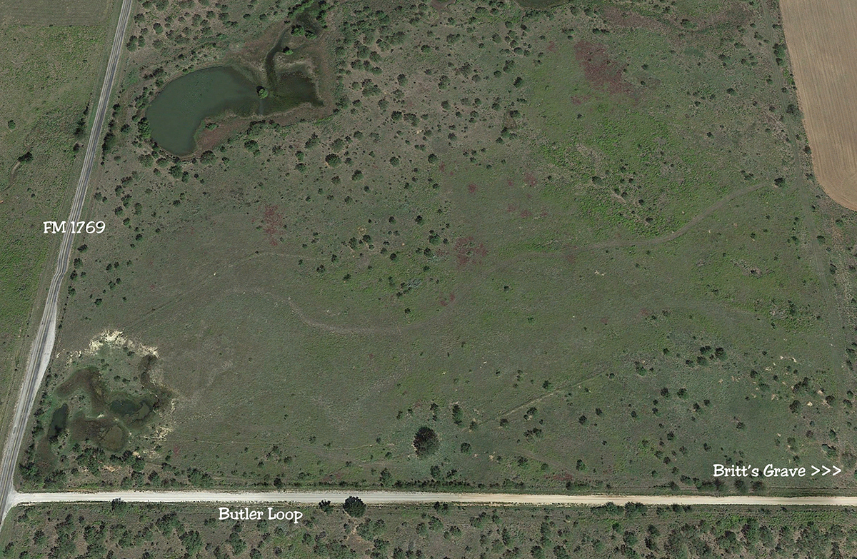
Above is an image of the area just west of Britt’s grave. It’s a screenshot from GoogleEarthPro. No enhancements. There are sundry trails and ruts visible on this view.
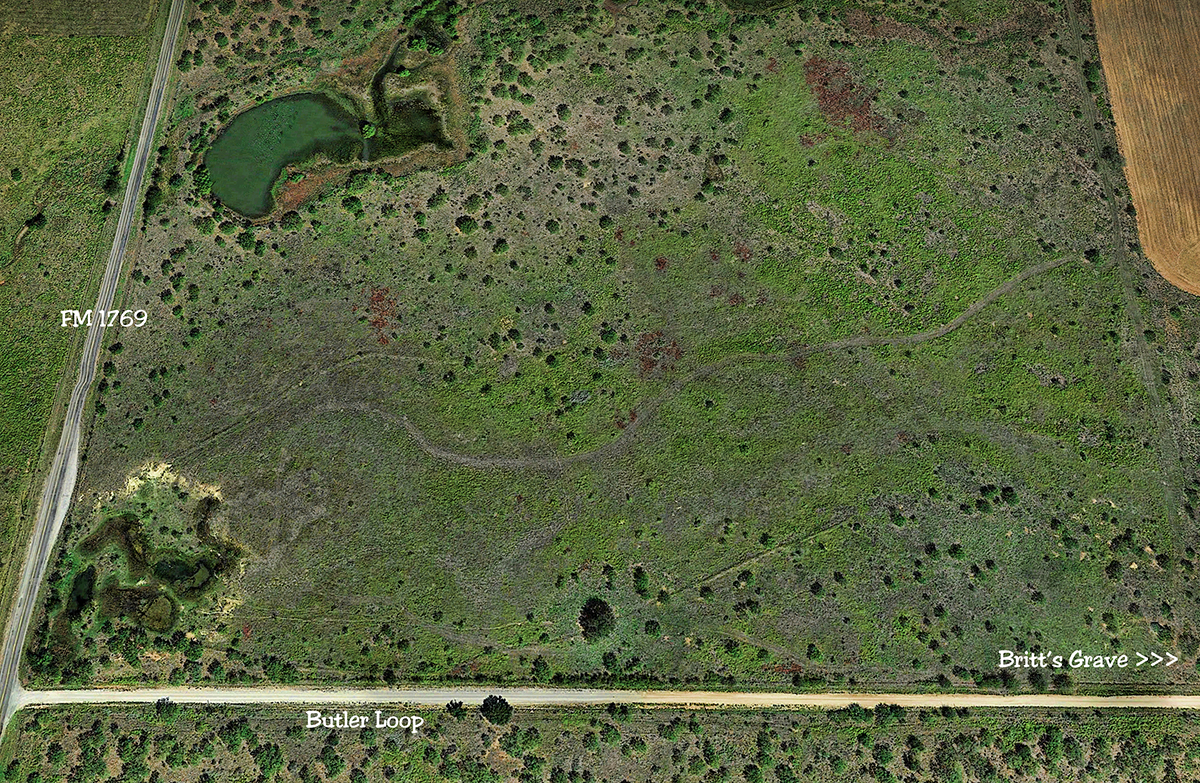
This image above has been enhanced with an HDR (High Dynamic Range) filter. Demonstrates how some features can be pronounced.
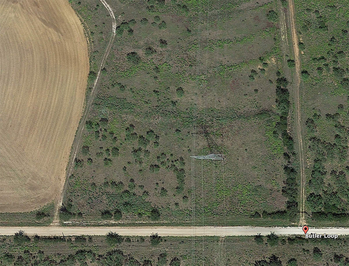
This is the image of Britt’s gravesite, I think. It was in a power line easement. You can see that the land just west of it has been cultivated, wiping out all traces of the stage road. Not sure if I see anything of ruts in this image??